click to enlarge:


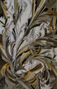
"Cartographers create two-dimensional images of the landscape by making topographic maps. These maps use contour lines to join points of equal elevation. A cartographer, as the word suggests, literally draws or writes place and its features (mountains, valleys, streams, lakes, and desert sinks), adds selected biogeographical features (forests), and man-made objects or ideas (roads, county lines, townships, buildings, landing strips, irrigation ditches, mines). These additions are often conceived as layers of a geographical information system. My topographic series dreams a geographical information system that layers topography, biogeography, and cultural shapes, in America’s Western deserts."
